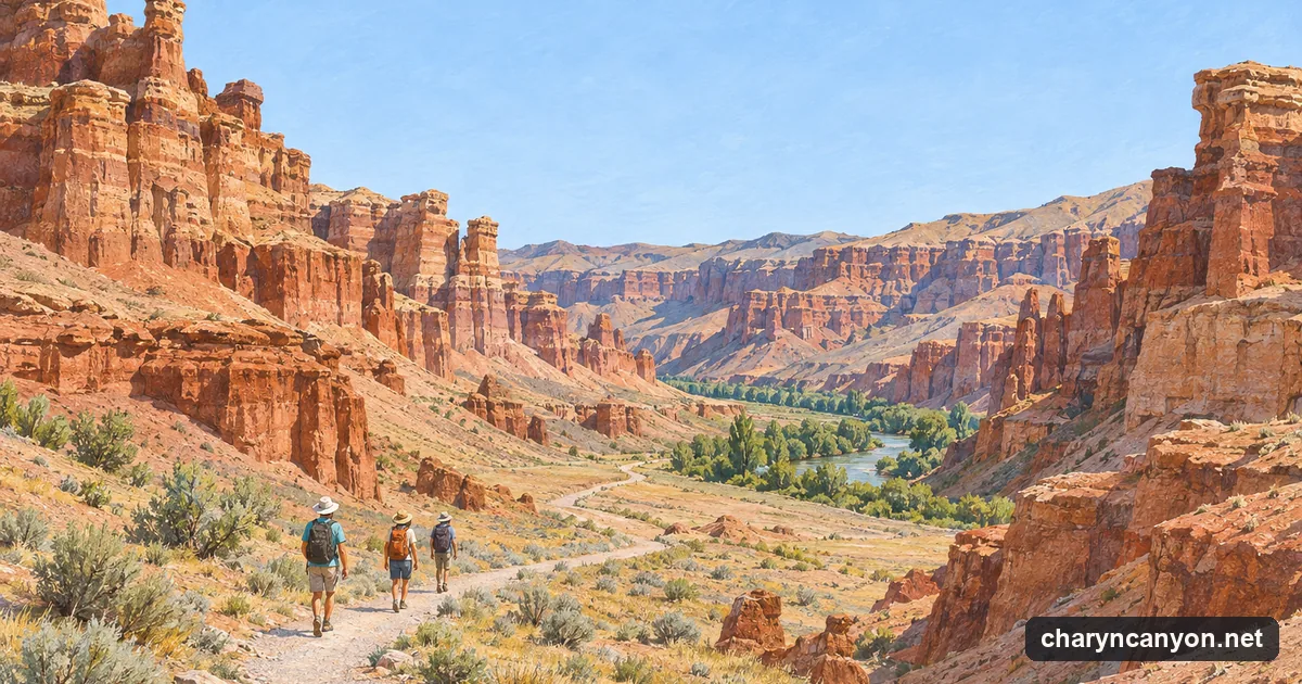
The Charyn runs north through the dry steppe of south-east Kazakhstan towards the Ili river. On its way it has cut a canyon into the soft red and ochre sediments of the plain, and the section most people see is a side valley of it: the Valley of Castles, where wind and water have left rows of towers and walls that give it its name. The park describes the valley as 3 km long and 200 to 700 m wide, at an altitude of about 1,300 m.
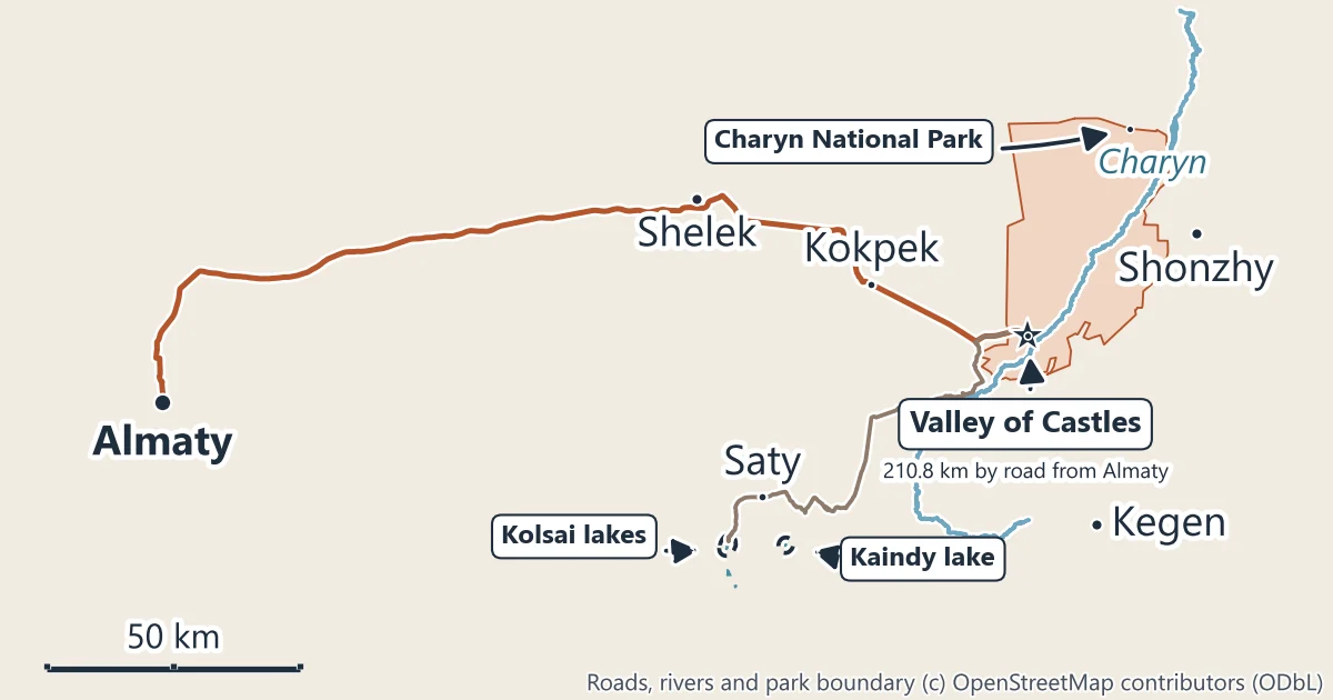
The national park
Charyn State National Nature Park was created by a government decree of 23 February 2004 and enlarged in 2009. The park gives its area as 127,050 hectares, across the Uygur, Enbekshikazakh and Kegen districts of Almaty Region, and its office is in the town of Shonzhy. It reports to the Committee of Forestry and Wildlife of Kazakhstan’s Ministry of Ecology and Natural Resources, and it is the body that sets the visiting rules, sells entry and runs the tourist routes.
The park has four official routes, 30.5 km in all: the Valley of Castles, the Charyn ash grove, a route past burial mounds and the Temirlik Small Canyon. The ash grove and the other trails page covers the three that most day visitors miss.
The Valley of Castles
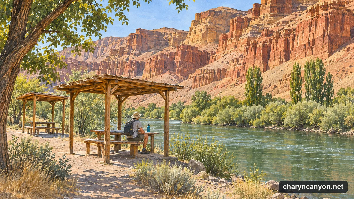
The route starts at a staircase by the car park and visitor centre on the rim, goes down the dry floor of the valley between the rock towers and ends at the Charyn river, where the park’s route documents describe a rest area with gazebos, yurts and a cook serving Kazakh food. The park puts the route at 3 km and 45 minutes of walking, plus about an hour of stops at its two viewpoints. Everyone walks or rides down in the park’s transport: private cars have not been allowed into the canyon since 2019. The Valley of Castles guide has the trail map and the details.
The entrance fee
Entry is charged under a national tariff for each protected area, set in multiples of the monthly calculation index (MCI), which is 4,325 tenge in 2026. For Charyn the tariff is 0.2 MCI a person a day (865 tenge) and 0.7 MCI for a car (about 3,030 tenge), the same for every nationality. The park’s own instructions are to pay through the Kaspi.kz or Halyk Homebank apps or by QR code, with your car’s number plate and an ID document. Every rate, from motorbikes to coaches, is on the entrance fee page (checked November 2026).
Getting there from Almaty
| From | To | By road | Straight line |
|---|---|---|---|
| Almaty, Republic Square | Valley of Castles car park | 210.8 km | 171.2 km |
| Kokpek | Valley of Castles car park | 34.6 km | 32.4 km |
| Turn-off on the Kokpek to Kegen road | Valley of Castles car park | 11.0 km | |
| Valley of Castles car park | Saty (for Kolsai and Kaindy) | 89.2 km | 61.2 km |
Road figures are routed along the road network between the two points named; straight-line figures are the distance between the same points on the map. The road leaves Almaty on the highway towards Khorgos, turns off at Baiseit for Kokpek, and leaves the Kokpek to Kegen road at a signposted turn-off for the last 11.0 km. There is no scheduled bus to the canyon, so visitors come by car, taxi or on an organised trip. The Almaty to Charyn Canyon guide has the road numbers and the options without a car.
When to go
The canyon floor is dry, open and has very little shade. Modelled averages for the canyon area put July afternoons at about 29°C and January nights at about -13°C, with frost on most nights from November to March. Spring and autumn are the mild seasons for the walk; in summer, start early and carry water. The weather and best time page has the month-by-month figures.
Kolsai and Kaindy lakes
The mountain lakes of Kolsai and Kaindy lie south-west of the canyon in the Kolsai Kolderi national park, and many trips from Almaty take in Charyn on the way. Their base, the village of Saty, is 89.2 km by road from the Valley of Castles car park. Kaindy is the lake with the drowned spruce trunks standing in the water, formed by a landslide in the 1911 earthquake. See Charyn, Kolsai and Kaindy in one trip.
Staying safe
The park’s route rules and safety notes ask visitors to:
- Keep back from the cliff edges on the rim and the viewpoints, and stay on the route.
- Watch for snakes and scorpions, and do not put hands in rock crevices.
- Keep away from the river banks, and never leave children alone by the water; the park runs a “safe shore” campaign on this with the district emergency department.
- Expect floods after heavy rain in the dry valleys, and leave the valley floor if a storm comes in.
- Carry a hat, sunglasses, drinking water and a first-aid kit. The checkpoint has radio contact and a helicopter landing site.
- Light fires only in the places set aside for them.
Where to stay
The park has guest houses on the ash grove route and one, called Sharyn, by its office in Shonzhy; the tariff also sets prices for yurts and tent pitches. At the river below the Valley of Castles the park’s route documents describe gazebos, bungalows and yurts. See where to stay near Charyn Canyon.
Official information
- Charyn State National Nature Park, the park’s own website (Kazakh, Russian and English).
- The park’s fees and rules page, with the 2026 tariff (in Russian; the Kazakh page carries the same tariff file, the English one shows older figures).
- Order No. 232 of 2 October 2024, as amended on 15 December 2025, the national tariff for visits to protected areas, on the government’s legal database (in Russian).