The four routes
| Route | Length (park figure) | Time with stops (park figure) |
|---|---|---|
| Valley of Castles | 3 km | 1 h 40 min to 1 h 45 min |
| Charyn ash grove | 2.5 km | 1 h 30 min |
| Burial grounds and mounds | 12 km | 1 h 15 min |
| Temirlik Small Canyon | 13 km | 4 h |
The park describes the four as “with a total length of 30.5 kilometres”. Its description of the Temirlik route gives the canyon itself as 10 km long, inside the 13 km route.
Valley of Castles
The park’s main route, 3 km from the staircase on the rim to the Charyn river, open all year. It has its own page: the Valley of Castles trail.
Charyn ash grove
Downstream of the Valley of Castles, to the north, on the floodplain of the Charyn, grows a forest of Sogdian ash (Fraxinus sogdiana). The park calls it a relic of the Paleogene era and gives its area as 5,014 hectares, of which 1,100 hectares are pure ash. Its route document describes trees 20 to 25 m tall and more than 300 years old.
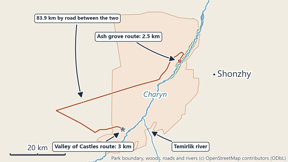
The route through the grove is 2.5 km, about an hour and a half with stops. The grove has a park cordon, and the park has guest houses on this route for an overnight stay. By road it is a long way round from the Valley of Castles, 83.9 km, because the road has to go round to cross the river; in a straight line the two are 32.4 km apart.
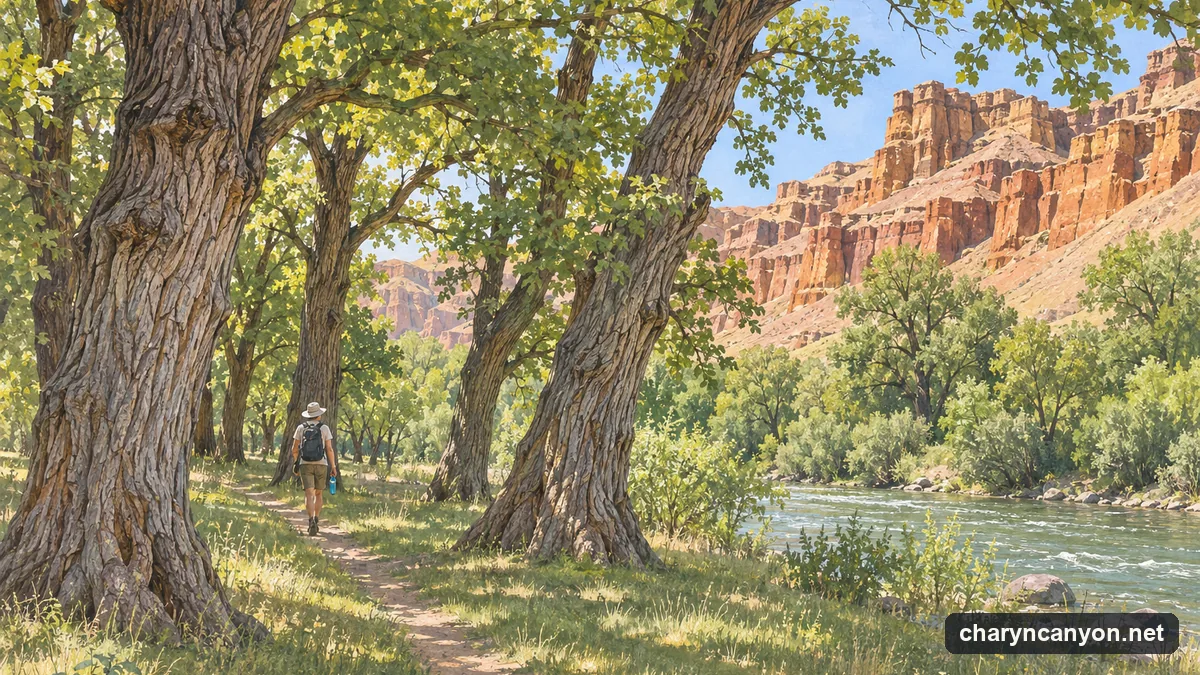
The park’s route document for the grove asks walkers to keep away from the edges of the cliffs, to watch for snakes and scorpions and to keep away from the river.
Burial grounds and mounds
The third route, 12 km long, visits burial grounds and mounds. The park counts 108 mounds on it, from 3 to 16 m across and from 0.1 to 1.2 m high. The park does not publish where the route starts; ask at the park office in Shonzhy or at a checkpoint before setting out.
Temirlik Small Canyon
The Temirlik is a tributary that comes from the south and joins the Charyn downstream of the Valley of Castles. The park’s route along its small canyon is 13 km and takes about four hours, at an altitude of about 939 m by the park’s figure. It is the longest and least visited of the four routes; carry more water than you think you need, and tell someone your plan.
Planning
- Fees: the park charge of 865 tenge a person and about 3,030 tenge a car (2026) covers a day in the park: entrance fee.
- Park office: Kydyrbaev Street 4, Shonzhy, Uygur district; phone numbers are on the park’s contacts page.
- Route map and documents: the park publishes a route map and the route passports (scanned documents, in Kazakh).
- Staying the night: park guest houses on the ash grove route and in Shonzhy: where to stay.